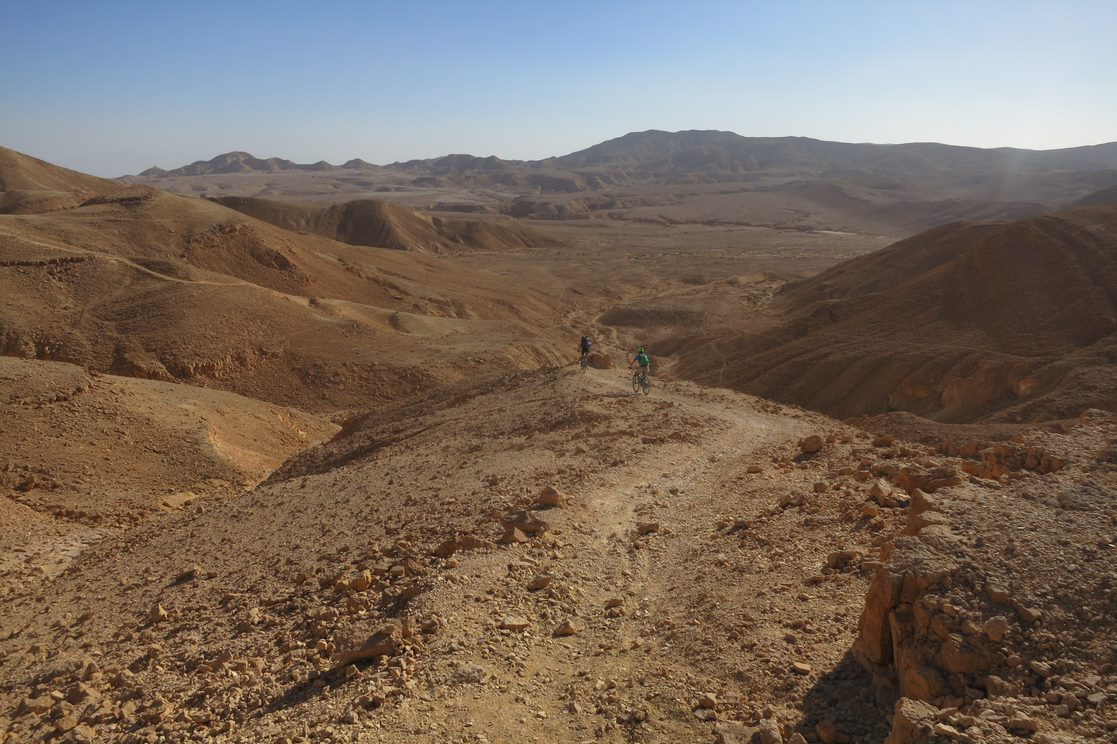
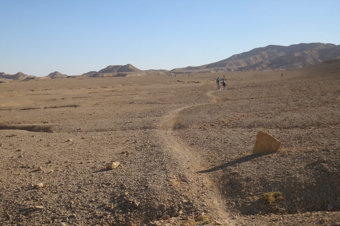
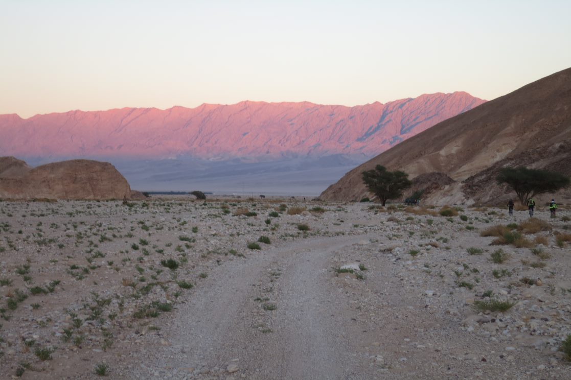
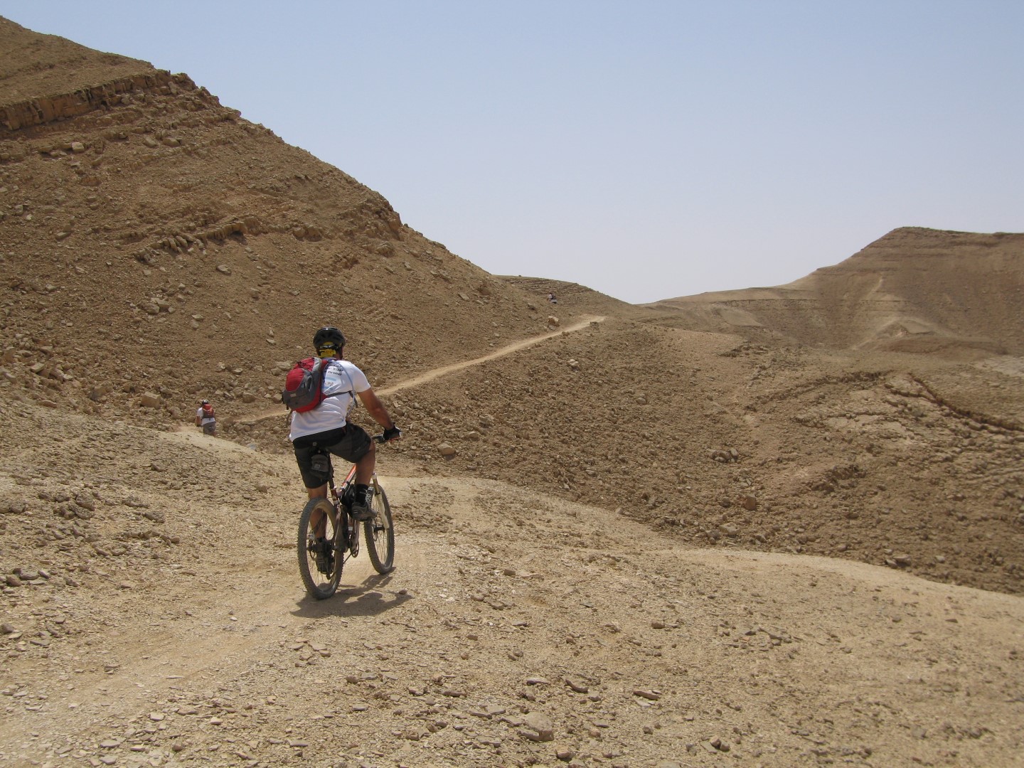
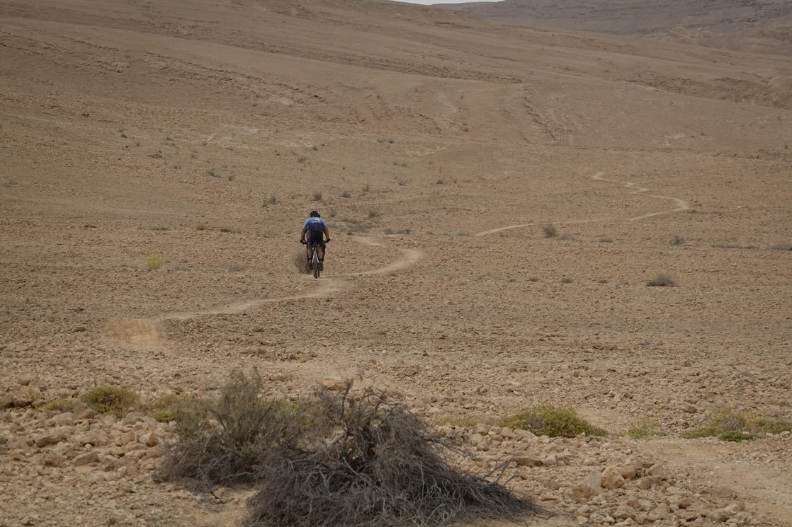
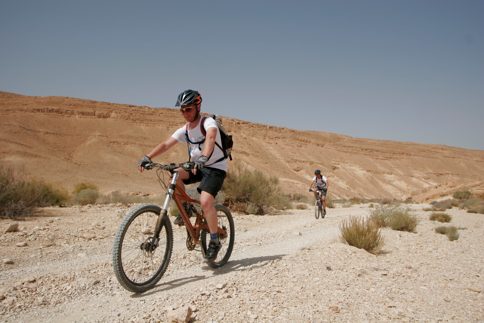
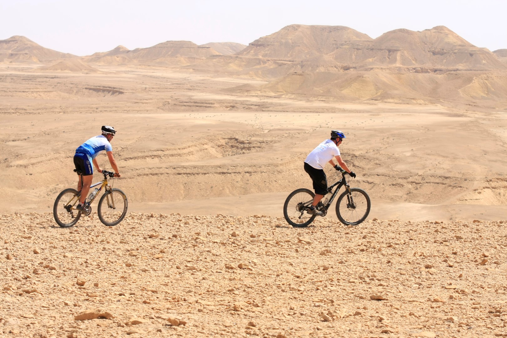
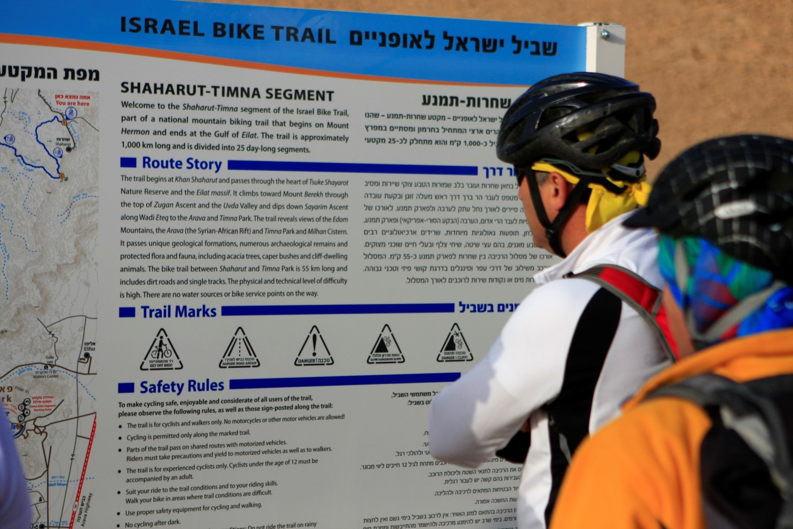
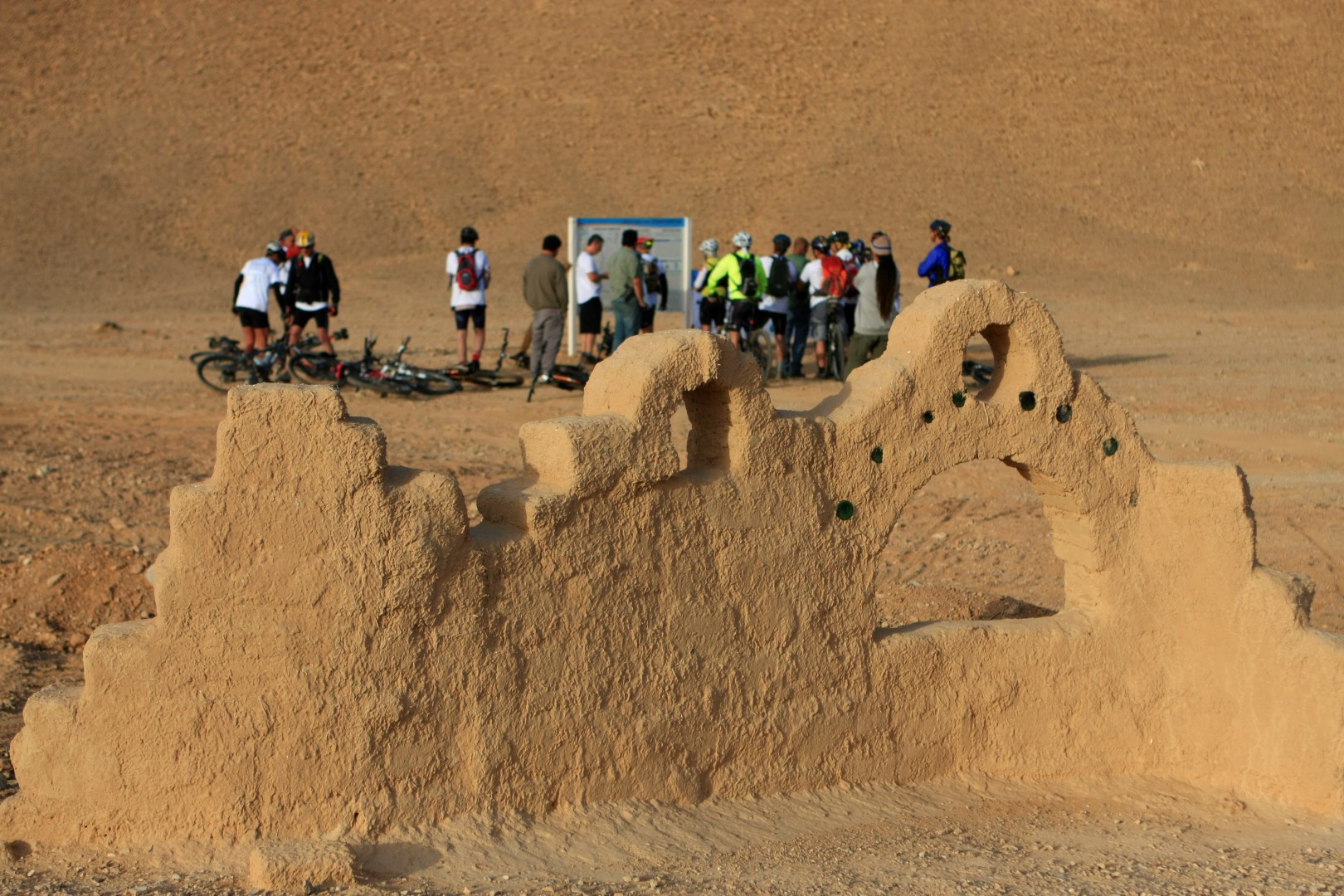
The Shaharut – Timna segment is the longest and most remote of all the Israel Bike Trail segments. It’s a challenging segment that clearly defines the concept of desert cycling. The route reveals some of the most unusual desert scenery in the country, and perhaps even the world. You’ll pedal past undulating layers of limestone, chalk and flint as well as veins of plaster and sandstone.
The trail begins at the “Ka” (loess plain), which is crossed by the road that leads to the community of Shaharut. From the decorative entrance sign to Shaharut, you’ll ride generally southwest and ascend to a plateau. A short ride on the plateau will bring you to Wadi Ashiron. Another short ascent along the wadi will bring you to a ride that overlooks the Arava Valley. Before continuing west along the trail in Wadi Zugan, we recommend turning left (east) and riding about 100 m to a beautiful lookout. Return from the lookout and continue west on the trail, descending through the wadi, until you reach the perimeter fence of the Uvda Air Field. Ride south along the fence, for part of the way through Wadi Sharvit, toward Wadi Milhan. Turn left (east) in the wadi. After about 2 km, you’ll pass Milhan Cistern, a round, concrete cistern that served members of the Ahiwat tribe (the name means “brothers”), who moved to Kunteila in northern Sinai. The well has since gone out of use and its water is not drinkable. This site serves as an overnight campground for hikers.
From there, continue up Wadi Metek, known for the impressive crisscrossed veins of plaster and layers of colorful rock on its walls. The ride up the wadi is comfortable and particularly intriguing – partly along a hard bed of glistening plaster. Continue to where the trail meets the service road leading to the top of Mt. Berekh. Turn left on the service road and ride about 50 m to the point where the trail once again intersects the road. Turn right and continue southward along the trail. You’ll cycle along the single track on the western slopes of the mountain up a moderate ascent to a rock terrace, from which a steep descent will take you across Wadi Berekh. Caution! Ride this descent very carefully after the long ascent to the topographical saddle of Mt. Berekh, 800 m above sea level. The way down to Wadi Betem has not been modified for cycling; walk your bike down.
Don’t miss the view! Where the trail meets Wadi Betem it’s well worth the effort to turn east on the jeep road toward a spectacular lookout over Timna Park.
From the lookout, ride back to the point where you left the trail and continue south (left). A system of flowing single tracks lead the Sayarim Ascent, where you’ll glide along its cliffs to Wadi Etek. Most of the route here is a jeep road; short parts are designated single tracks. Be especially careful cycling along this portion because of the unstable trail bed.
About 3 km from the turnoff southward you’ll reach a lookout terrace above Wadi Etek. Make sure you stop for the view!
The trail continues down the slope to the intersection with Wadi Raham, where a long, gravelly trail leads to Timna Park.
Timna Park is wonderful place with dramatic scenery and history and offers lots of attractions as well as well-equipped campground. Riding between the archeological sites and geological scenery is highly recommended.
It is advisable to spend a day in the park. : http://www.parktimna.co.il/EN/
In case you don't have the time or want to get to Eilat without the detour to timna you can find a place to stay in Be’er Ora.
 |
 |
 |
 |
Climate & Weather
Ovda Valley in actually a highland, about 600 meter above sea level. It has a desert climate with high temperatures all year round. Especially during the summer it may get hot. Precipitation figures are low all year round. The rain that does fall mainly falls during the winter. Although temperatures are slightly lower during the winter it remains warm.
You can learn more about the region's climate here .
Typical location for weather forecast is Ovda airport.


