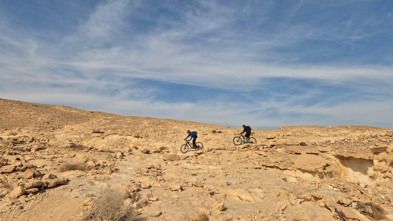
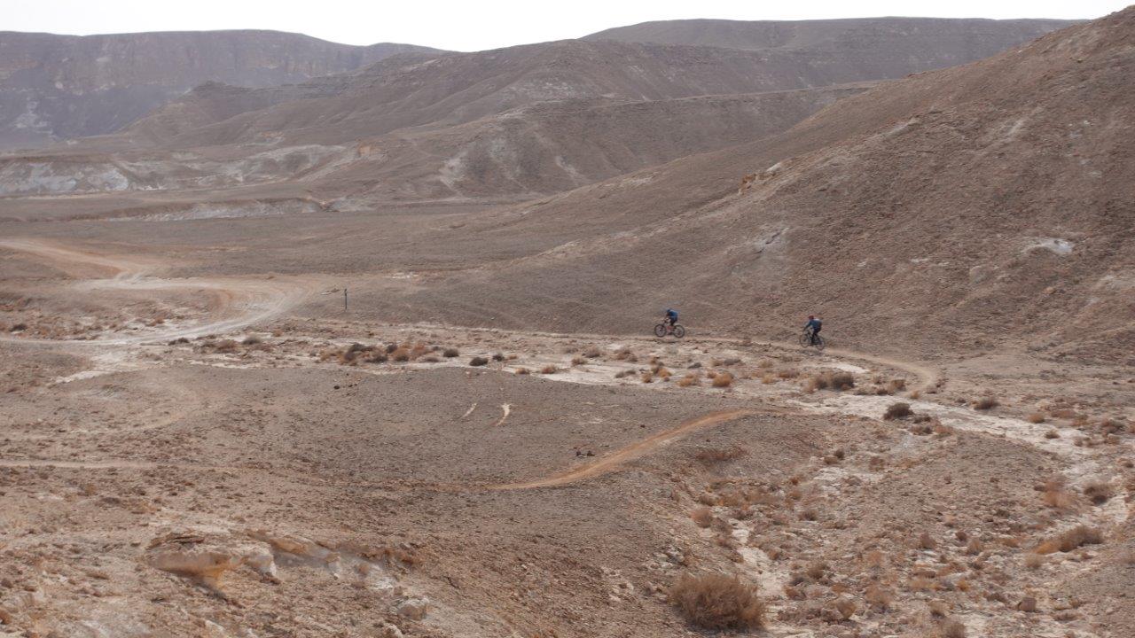
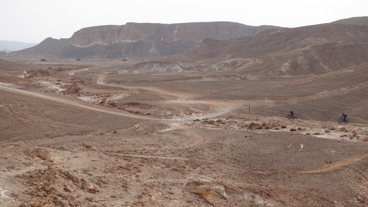
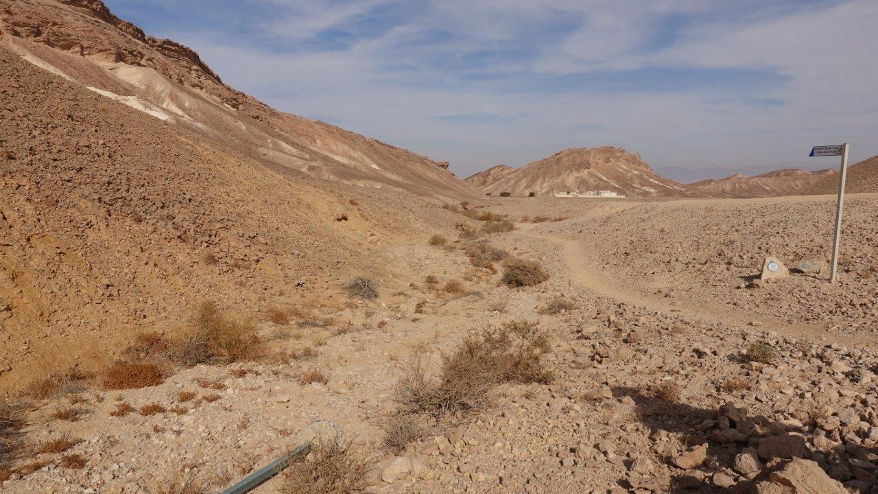
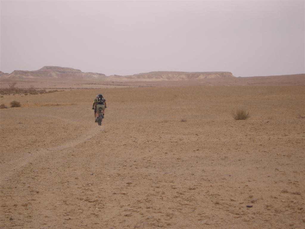
This segment of the trail crosses varied topography and wide-open landscapes. You‘ll pass through a scenery that reminds the African savanna. Although there aren’t any dramatic views along this segment, it is one of the nicest portions of the southern trail. On this day you’ll pedal across the desert’s largest wadis – Ashosh and Paran.
The trail begins at the foothill of Moa stronghold and Khan. We recommend a short visit at the Nabatean encampment, which provided roadside services for convoys of merchants traveling the ancient 'Spices Route' from the far-off Arabian Peninsula to the shores of the Mediterranean Sea. From Moa, ride southward along the trail marked in red to its junction with another trail marked in black, and then continue further south on the red trail.
Your ride continues along Wadi Omer, with its extension on your left. After a few kilometers you’ll come across a large acacia tree which marks Wadi Omer’s confluence with Wadi Ashosh, coming from the south. This is a great spot for a coffee break.
From the tree, continue east along Wadi Ashosh. When you spot a large water tank on a hill on your right, that’s your sign to search for the single track that leaves the wadi and ascends in the direction of the village of Tzukim, where you’ll find a campground, guest accommodations and a good restaurant (near the Arava road).
The trail will bring you up to the outskirts of the village, and then turn southward, along Wadi Tzofar, to a section of single track that was also prepared by Israel Bike Trail volunteers. From there the trail climbs to Tzofar Heights, where you’ll be surrounded by primordial landscapes. That’s another good place to stop before you cross the acacia-studded wadi.
Back on the bikes, you’ll ride along the twisting wadi until you reach the jeep path marked in red. Just across the way, you’ll discover a lovely lookout over Wadi Paran, which is the largest of Israel’s seasonal desert streams.
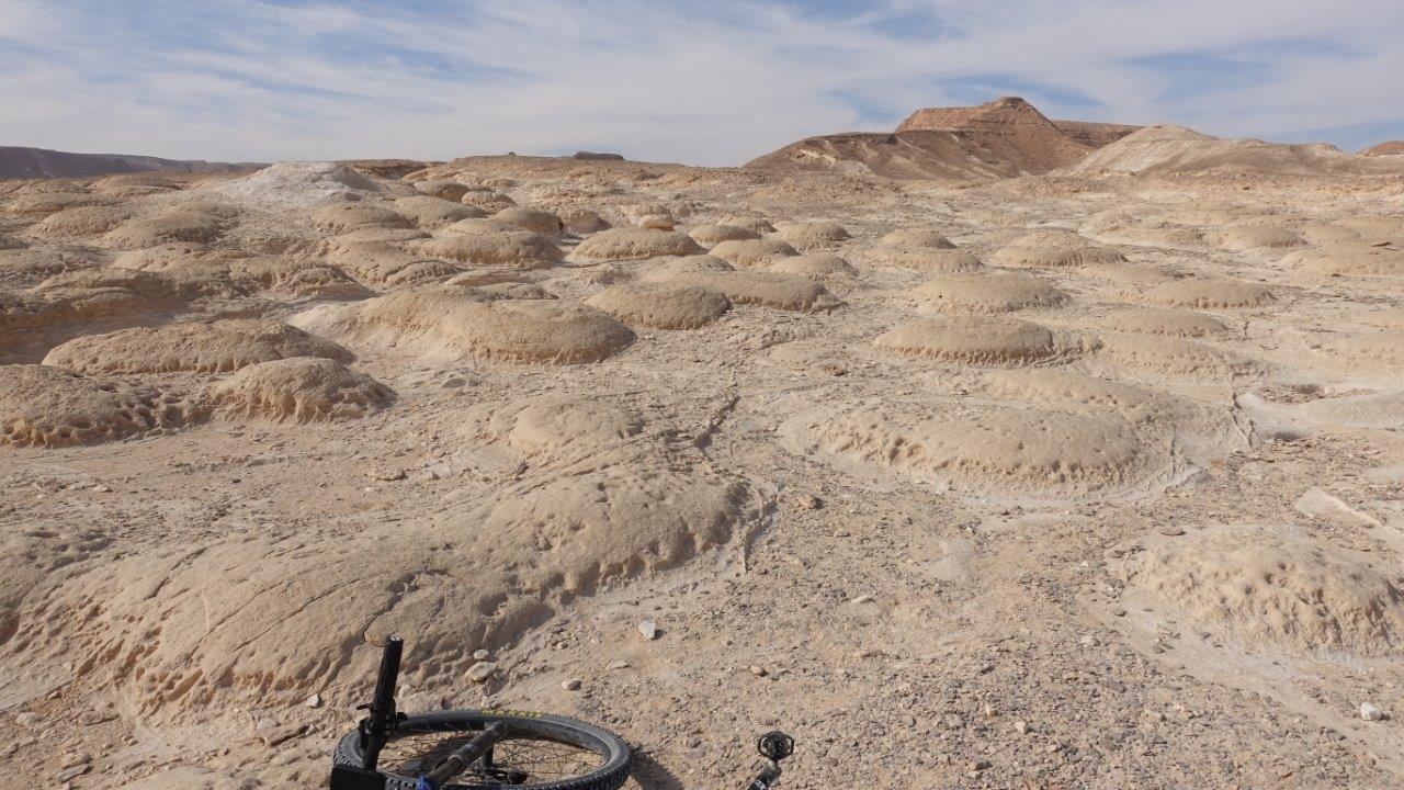
The descent from the lookout is a challenging slope that requires skill and experience to ride. Use extreme caution; dismounting and walking your bike down is recommended. You’ll continue down in the direction of Wadi Za’af and Wadi Paran – look for the turtle-shaped rocks along the trail segment between the wadis.
You’ll cross Wadi Paran the long way, heading toward Telem Eshet. Taking a short detour between its sharp cliffs, you’ll arrive at the entrance to Moshav Paran.
 |
 |
 |
Caution! During seasons when flooding is a risk (winter, spring and fall), do not try to cross a wadi if it has been raining in the area. Pay close attention to warnings from Israel Nature and Parks Authority rangers and keep up with the latest weather forecasts.
Climate & Weather
Moa - Paran segment runs in the Arava area. A desert climate with high temperatures all year round. Especially during the summer it may get hot. Precipitation figures are low all year round. The rain that does fall mainly falls during the winter. Although temperatures are slightly lower during the winter it remains warm.
You can learn more about the region's climate here .


