Be'erot – Moa, Along the 'Spices route'
This segment of the Israel Bike Trail follows the path of the nomadic merchants who led camel caravans laden with incense and spices thousands of years ago. This is a short section of the long 'Spices route', stretched between the south end of the Arabian Peninsula and the the coast of the Mediterranean Sea, Near Gaza. These convoys carried a variety of incense and spices, the best known of which were myrrh and frankincense. The 'Spices route' was declared a UNESCO World Heritage Site in 2005.
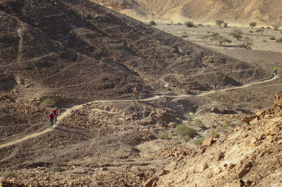
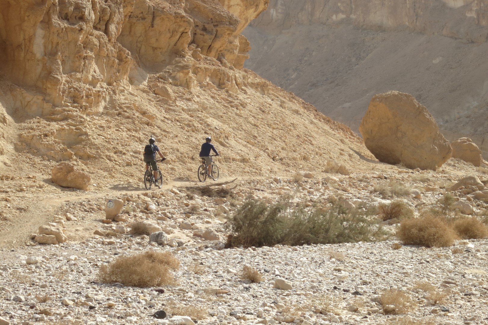
Over the course of your ride you’ll pass ancient strongholds, wind between the steep walls of Wadi Nekarot canyon, and cross a variety of landscapes
The ride begins at Khan Be’erot, a campground maintained by the Israel Nature and Parks Authority which has a parking lot for vehicles, sleeping areas, a snack bar, showers and toilets. You’ll pedal north from the campground on a comfortable sandstone path and turn eastward, following the signs to the Saharonim Heights.
Keep your eyes peeled for two pillars of stacked stones flanking the trail. These are burial cairns from the Middle Bronze Age (2000–2200 BCE), left behind by desert nomads. A short trip to the Saharonim encampment (Khan), the first along the route, is recommended.
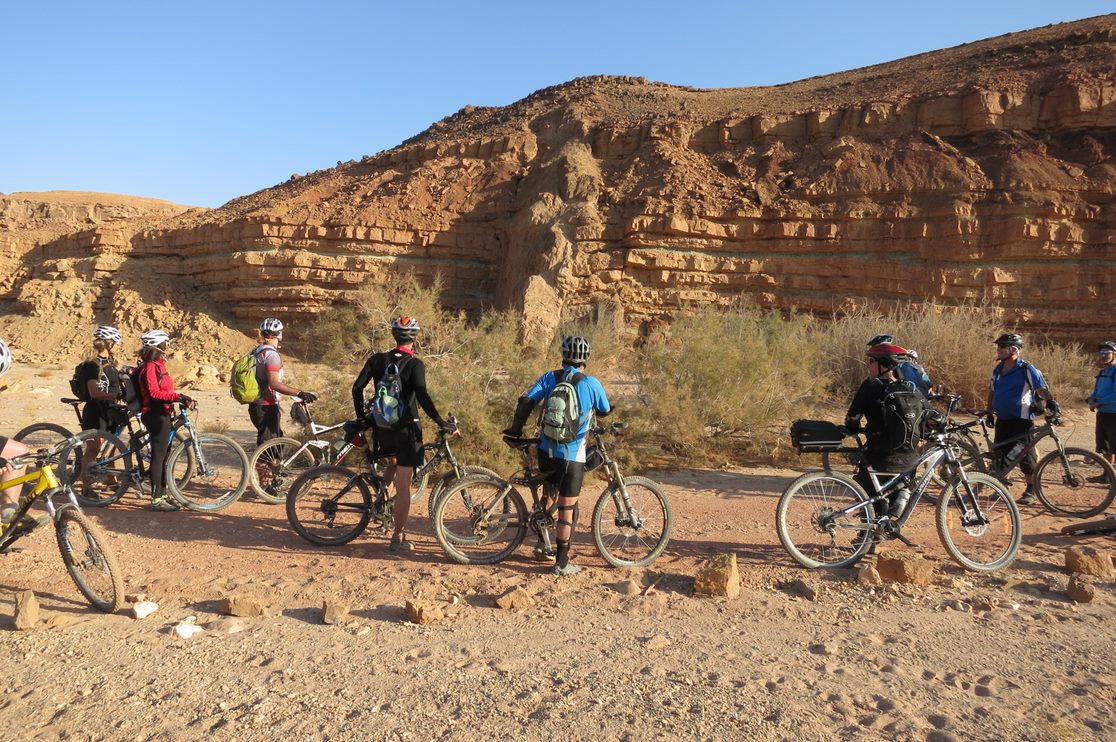
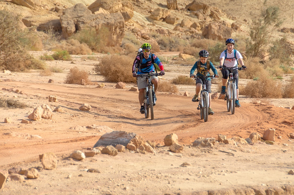
A few kilometers later, you’ll ride down into Wadi Ardon, with its reddish sand trail. On your left you’ll notice the a cliff face composed of colorful rock layers. Notice the fascinating geological phenomenon illustrated by six dykes – vertical rock formations that slice through the otherwise continuous horizontal layers that make up the cliff.
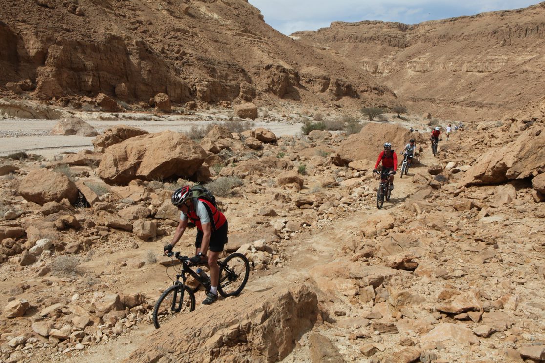
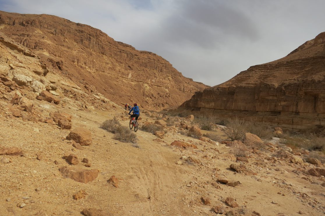
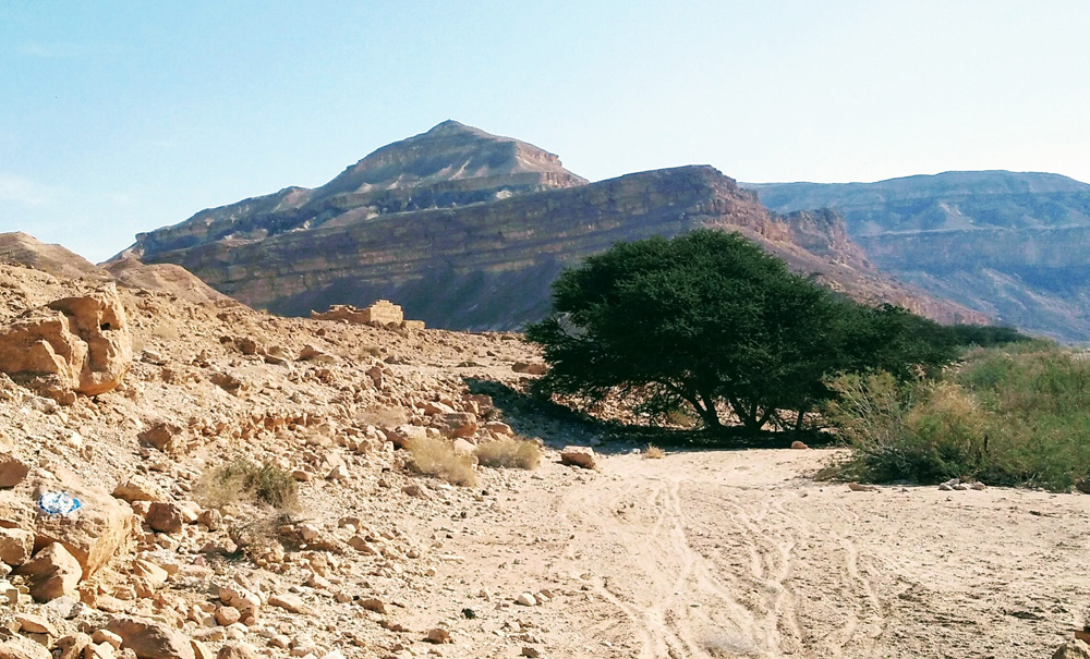
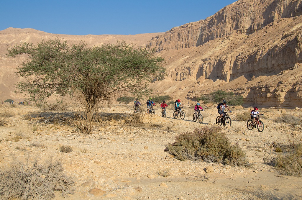
About 5 km later the trail merges with Wadi Nekarot, which you’ll follow east for about 9 km. The trail zigzags between the banks of the wadi, flanked by high vertical walls. Pay attention to the crossing spots so you won’t miss the continuation of the trail on the opposite bank. Shortly after meeting up with Wadi Meishar, you’ll reach the point where you’ll see the Nekarot Fort, adjacent to which, on the southern bank, a short walking trail, marked in blue, leads to a cistern.
From a lookout at Nekarot stronghold the trail continues down along the wadi for about 4 km eastward, above the southern bank. Be careful not to miss the turnoff; riders have a tendency to continue northeast with the wadi. Instead, you’ll turn a bit south toward the smaller wadis of Evus and Tsrorot, and follow them eastward, riding for a while along the jeep track. Just before the trail begins to climb up the hill, you'll then turn north toward the campsite at the foot of Mount Masa, and from there, climb the single trail to the Katsra stronghold.
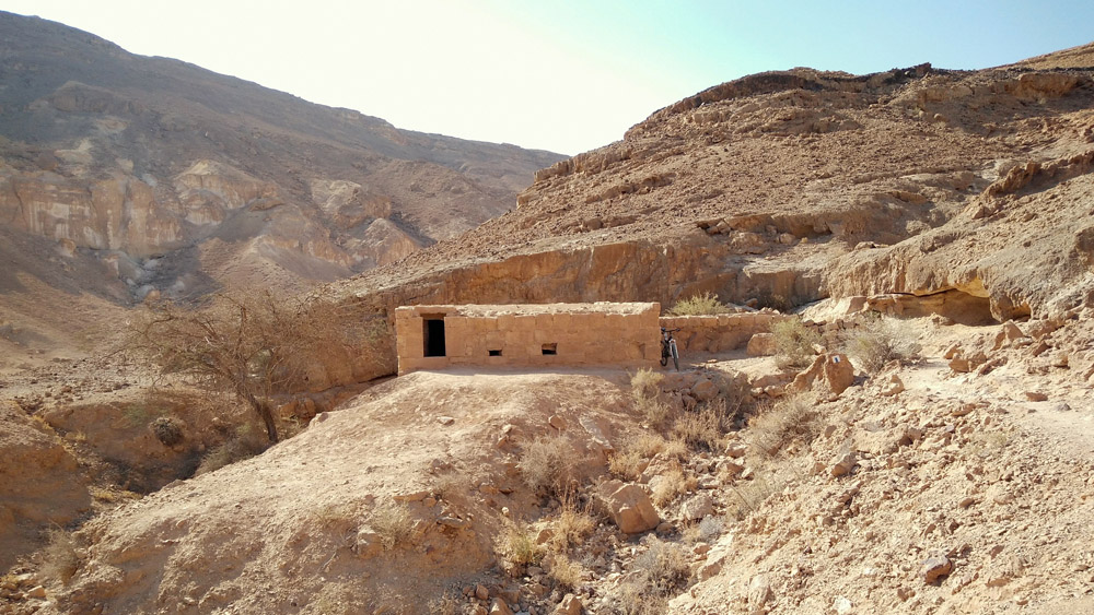
A small square structure is all that left from this small stronghold. The remnant of a watchtower and way station, located at the highest point of one of the eastern spurs of Omer Heights. You’ll find a spectacular view in all directions, making this a great place for a short rest and preparation for the descent to Wadi Katsra.
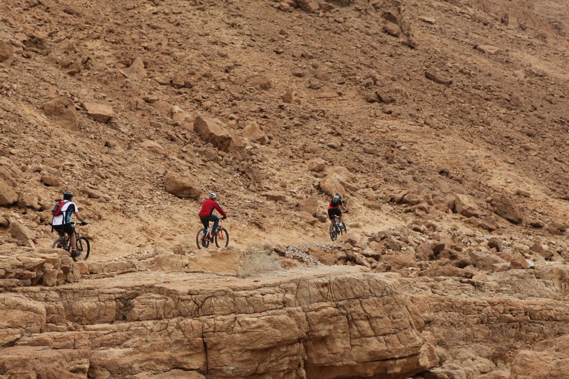
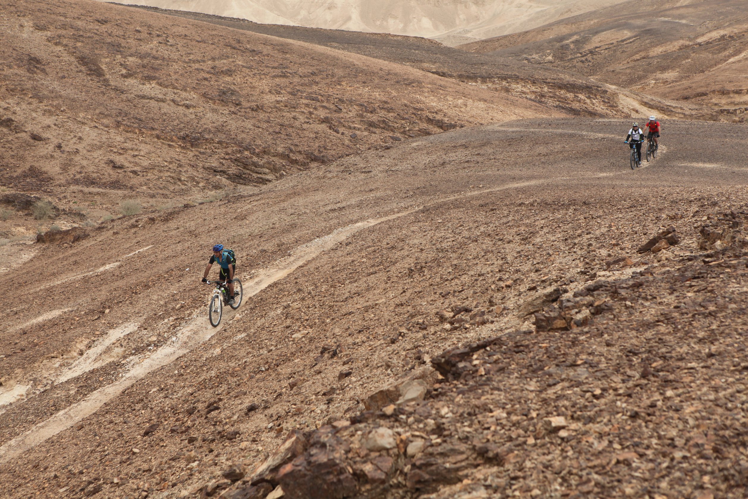
From the stronghold, the descent to the wadi is steep, challenging, and prone to rockslides. Sections of single track were built carefully into the slope in order to improve safety conditions. Still, ride this section cautiously. When in doubt, dismount and walk your bike over the two most difficult short segments.
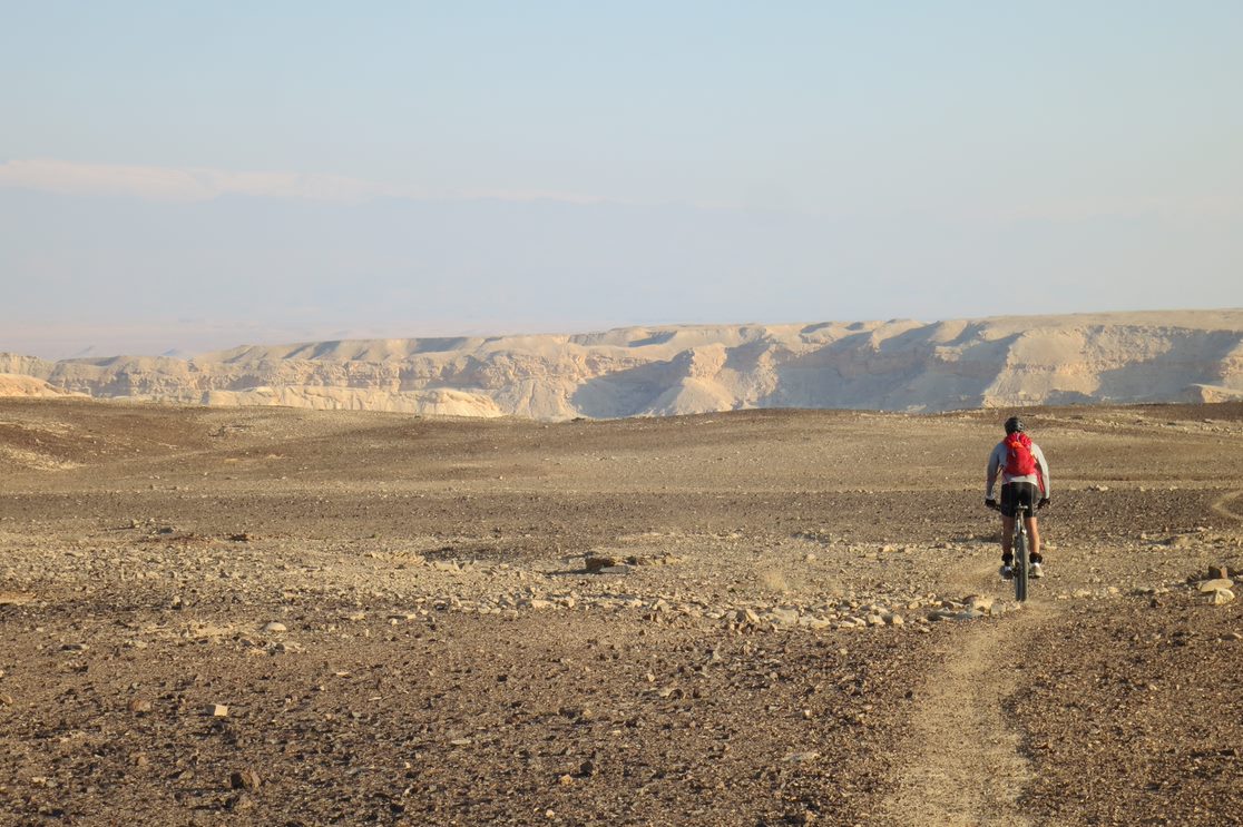
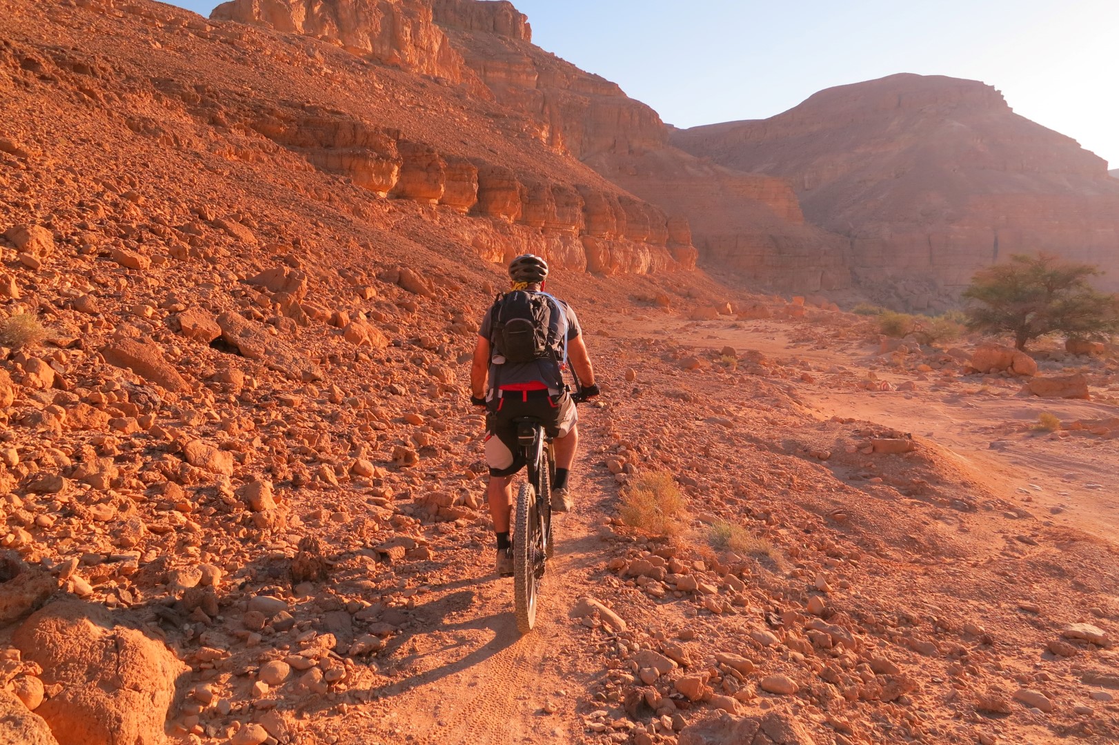
You’ll ride on a slightly gravelly route along Wadi Katsra until it meets up with Wadi Omer, at which point make sure you watch for the signage and don’t race ahead. This is where the trail leaves the wadi and turns a bit northward, along a small wadi bed and up a short ascent. Waiting for you at the top is an invigorating glide across the flint-gravel plateau, until you reach Moa Heights and the Moa Fort, an important ancient encampment and way station.
The last part of this trail was prepared with the help of volunteers, in memory of the late Amit Yeori, who was killed in Operation Protective Edge. Cyclists and staff of the Israel Parks and Nature Authority participated in the work, together with the Arava Tichona Regional Council, military engineers and Amit's friends and family.
There is easy access to the fort for all vehicles, and from there you can continue to the next segment, travel east to the campground, or to more ample overnight accommodations in and around the village of Tsofar and elsewhere along the Arava road.
 |
 |
 |
 |
Climate & Weather
Be'erot - Moa segment runs in Nekarot wadi, climbs up to Katsra and decends to Moa. It is a harsh desert climate with high temperatures all year round. Especially during the summer it may get hot. Precipitation figures are low all year round. The rain that does fall mainly falls during the winter. Although temperatures are slightly lower during the winter it remains warm. Flash floods are not rare during Winter, Automn and Spring.
You can learn more about the region's climate here .


